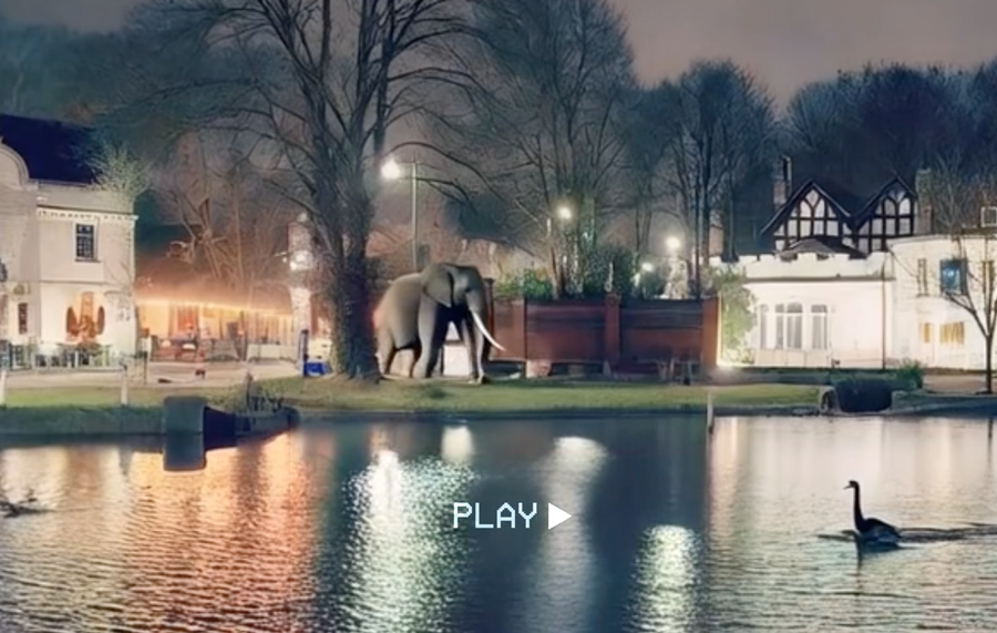
People don’t usually think of Carshalton and Beddington as places with islands. But follow the River Wandle and its ponds, channels and lakes and you’ll find a surprising number of them.
Some were created by the river, others by people diverting water to power mills or shape the landscape. This isn’t an exhaustive list — and we’re certainly not geologists — but here are some of the distinctive islands and island-like places created by the Wandle and the people who have altered it over the centuries.
🌳 The island in Carshalton’s Upper Pond
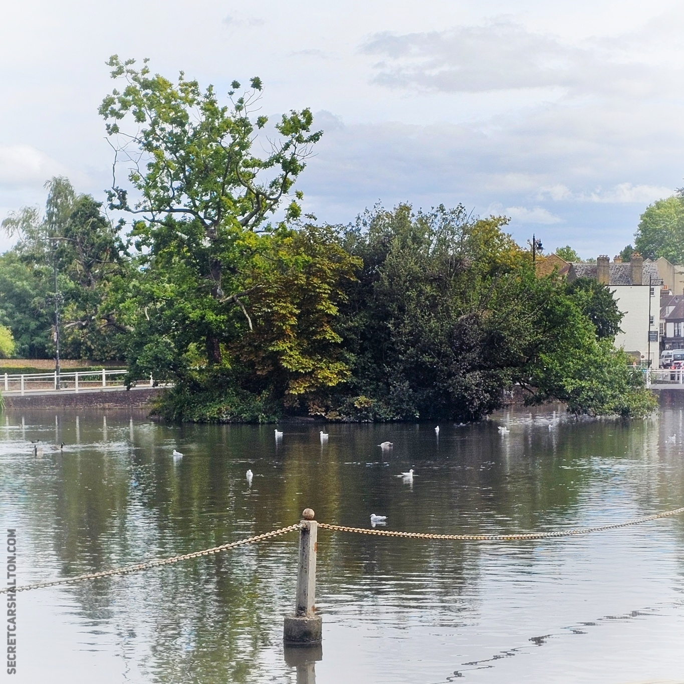
In the middle of Carshalton’s Upper Pond sits a small, tree-covered island that many people probably walk past without thinking much about.
The ponds themselves have been shaped and altered over centuries. The history of this particular island is less clear, but it appears on photos from at least 1905 and was maintained with improvements in the 1960s. It’s a wonderful spot for wildlife to stay undisturbed.
📍Carshalton Ponds
🌿 Wilderness Island
This is perhaps the area’s best-known island.
Wilderness Island lies between branches of the River Wandle and has a history closely connected with the river’s mills and later landscaped grounds. Today it is a nature reserve, but its waterways are a reminder that even places that now look wild have often been heavily shaped by people.
A walk around the Wilderness Island Nature Reserve

📍Wilderness Island, Mill Lane, Carshalton
⚙️ Culvers Island
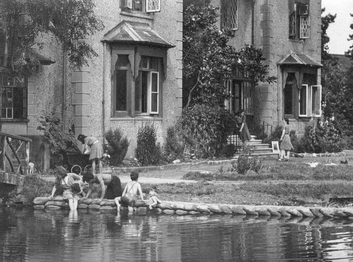
Culvers Island has a particularly strong connection with the Wandle’s industrial past.
Here the river divides around land associated with the former Culvers Mill, and the remains of the mill’s wheelpit can still be seen. The island is a reminder of how the Wandle was divided and engineered to provide water power for industry.
First UK Black Swans imported from Australia to Hackbridge in 1851
📍Culvers Avenue, Hackbridge
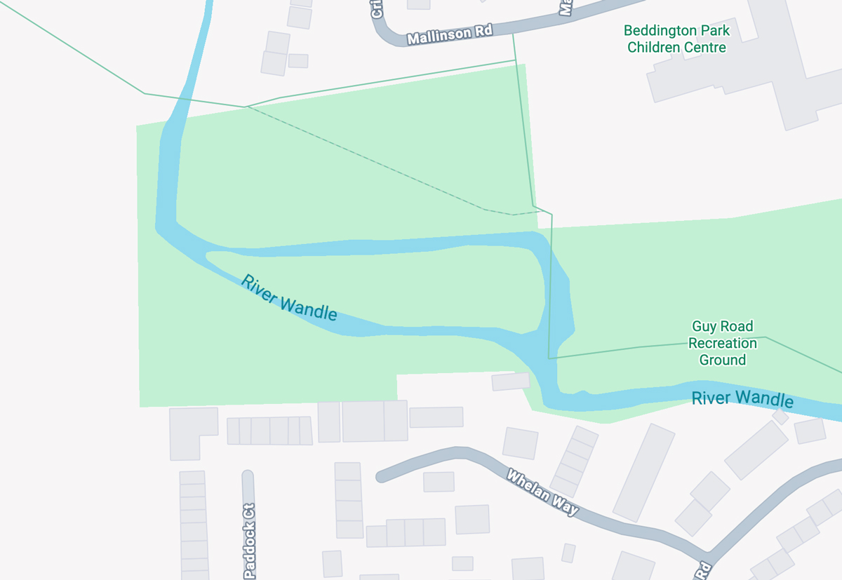
🏞️ Guy Road’s unexpected island
Near Guy Road Recreation Ground, the Wandle splits into two arms before joining together again.
The channels create an unexpected piece of land between them — effectively an island hidden amongst roads, houses and playing fields.
📍Guy Road Recreation Ground, Beddington
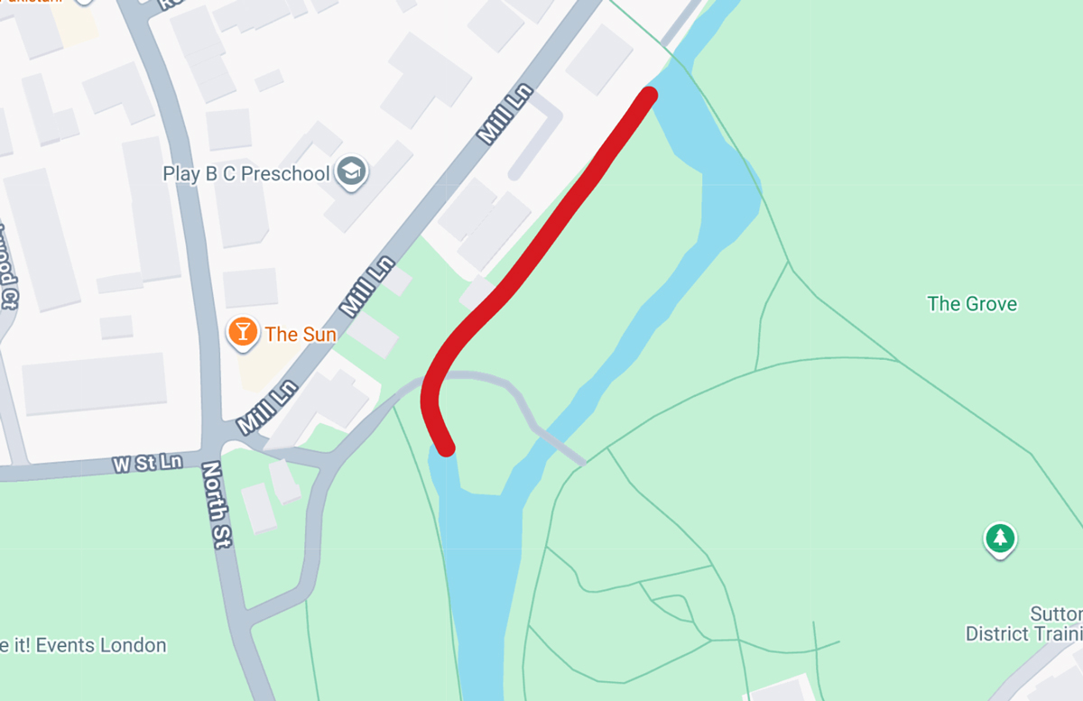
👻 The Grove’s lost island
In The Grove there was once an island. The Wandle flowing through the Grove has been redirected through the centuries, and this channel was used to divert the water from Carshalton Ponds to power The Grove Mill.
The mill is no longer used an the channel remains empty most of the time.

📍The Grove, Carshalton
🌊 Beddington Park’s changing islands
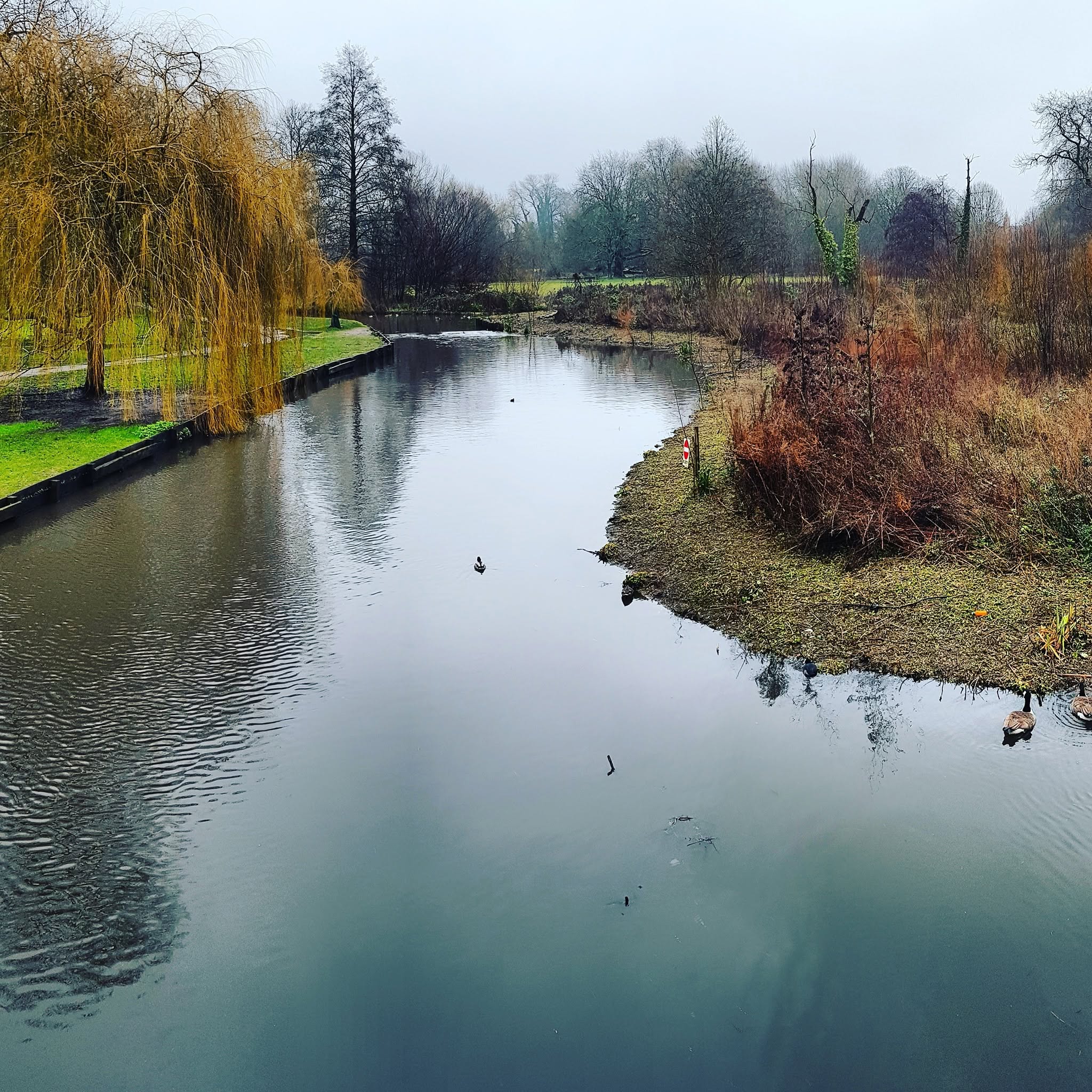
The islands in Beddington Park’s lake (or old mill pond) have a surprisingly well-recorded history.
They first appear on maps from at least 1868 and have changed shape and number over the years. They appear to have grown partly as the lake gradually silted up, with human activity and dredging also altering them.
Even recently, dredging work has changed the shape of the islands again.
📍Beddington Park, Wallington
🏝️ More islands than you might think
The interesting thing about all these places is that they aren’t all the same.
Some are genuine river islands. Some were created or altered by mill channels. Others formed in lakes, while some may only have been islands while particular waterways were flowing.
The Wandle has spent centuries being split, diverted, dammed and reshaped. The result is a surprisingly complicated landscape — and a collection of islands hiding in plain sight.
Did we miss one? Let us know if you know of another island, past or present, around Carshalton, Beddington or along the Wandle. We reserve the right to update this article as new information comes to light.