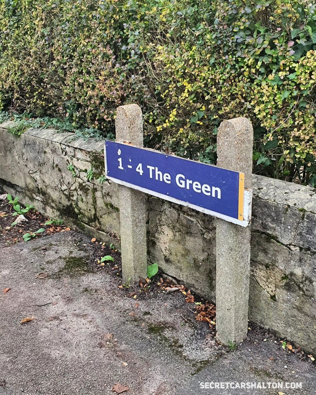
*Historical* This is a road sign you may easily miss. It’s in Carshalton High Street and points towards a public car park and a row of old houses. But what was The Green referring to and how did the name come about? Here’s some theories.
Theory 1: Before where the car park is, there was a village green
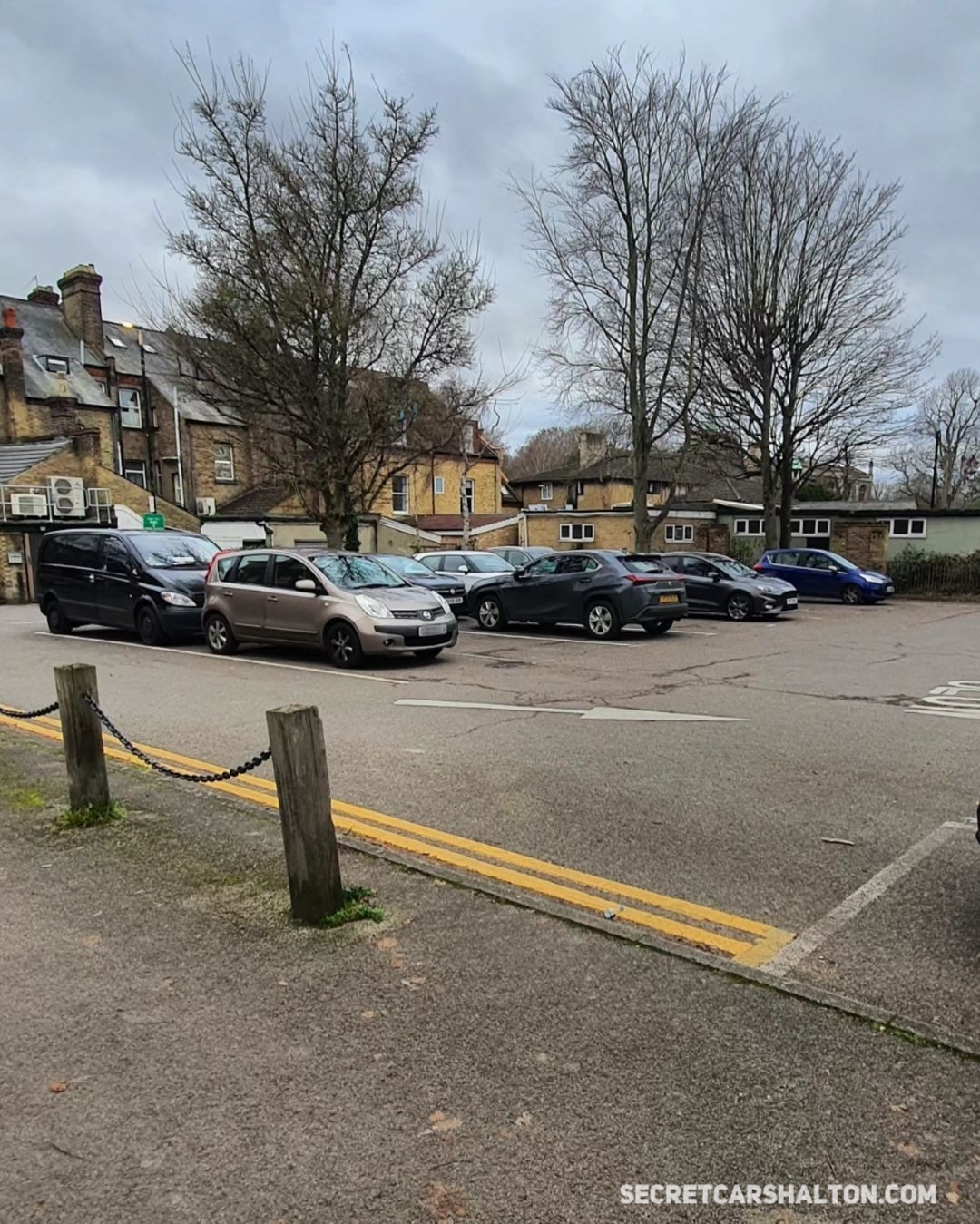
This is the most presumed theory, though infact there’s been houses and structures on this spot for many years. It’s possible the car park was earmarked for a green, but maps show the name existed while the car park still had buildings on.
Theory 2: It was purely a name created to mark an area on a map
Without knowing exactly when the name came about, it could be a newer name purely used to mark a location. Here’s a few interesting pointers from a local list of guidelines when naming streets. Part of a set of rules in place since 1939:
- the name(s) should, when possible, have a proven historical connection to the land intended for development.
- if no suitable historical name can be found for the land then a historical name related to an adjacent area may be suitable.
- No street name should start with the word ‘The’ or “A” as it can cause confusion during emergencies.
Theory 3: It led through to the bowling green and cricket green in The Grove

It’s possible, but before the creation of The Grove public park in the 1930s the area where the bowling and cricket green were, was private land, being part of The Grove House/Mansion. However, maybe the name was created when the Almshouses were built by the owner of The Grove – and cricket was known to be played on his land.
Theory 4: It marked the location of Wandle Mount
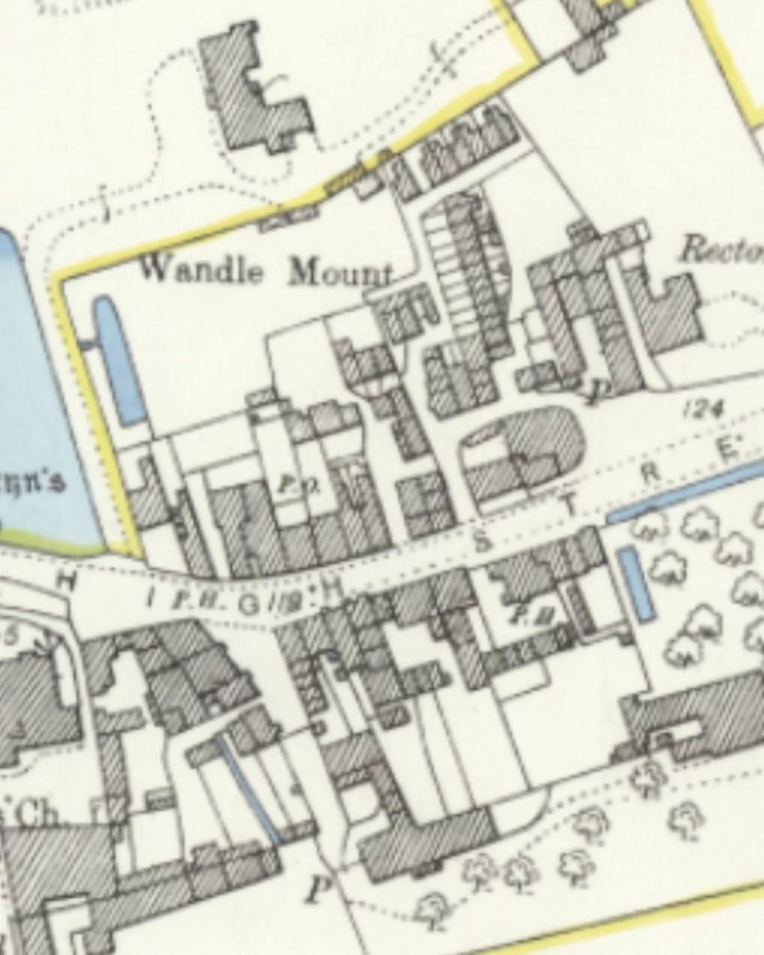
This was a green patch of land on a slope that overlooked Carshalton Ponds. If The Green is an old local name, perhaps it was an area where local people could meet.
At some point in the 19th Century, this area became the walled garden of The Grove. Though perhaps as it was private land for a long time, this was not a village green.
Theory 5: The small patch of land behind the pharmacy
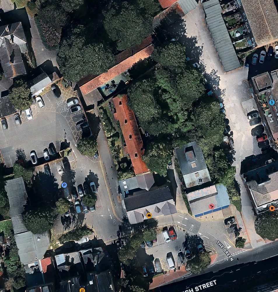
There’s a small patch of overgrown land that still exists behind what is currently a pharmacy. Horses were known to graze here when there was a Blacksmiths close by. Infact, the sign points directly to it.
So that’s what we have so far. What theories do you have? There may already be a clear answer, and if that come to light, we’ll update this feature to reflect this. So was there ever actually a village green in Carshalton and should we bring one back?